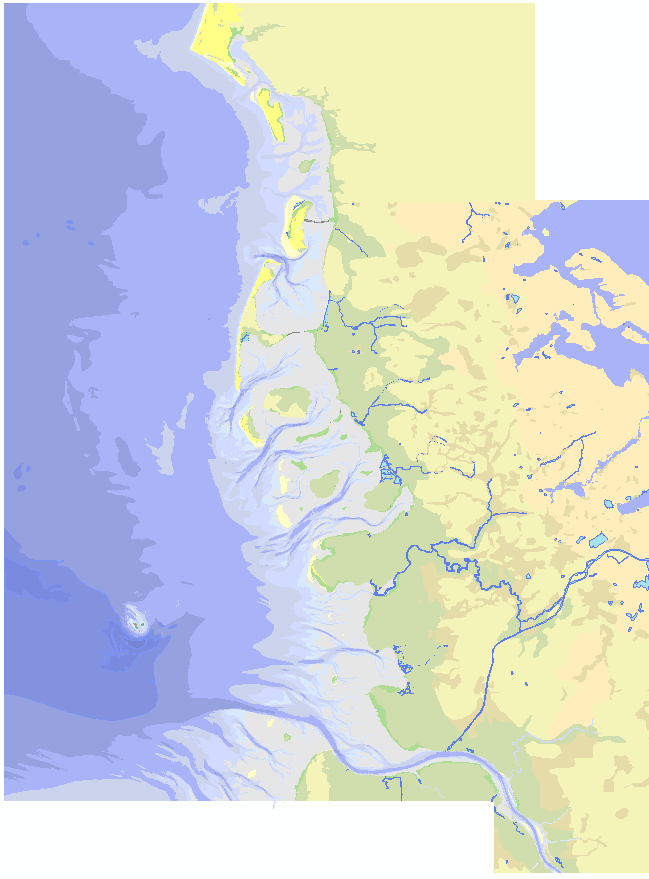
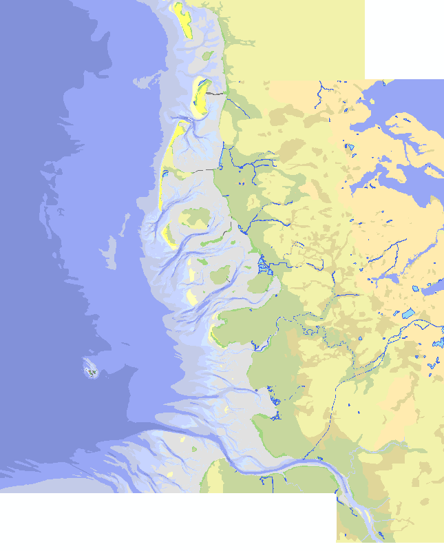
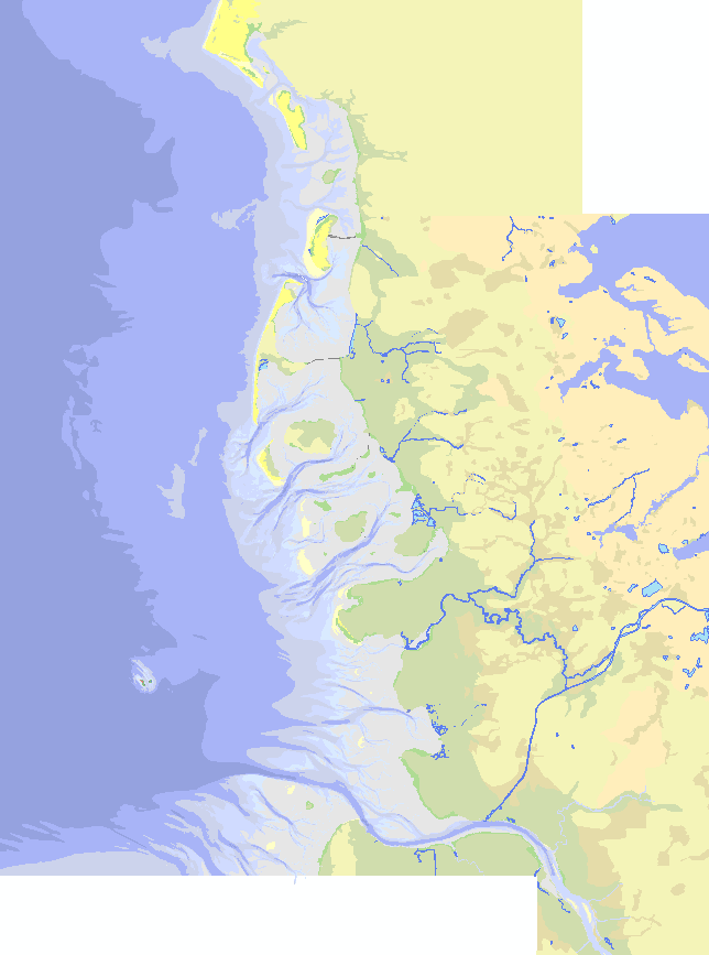
TMAP parameter group: Area and location of different land usage (in GD). The trilateral Monitoring and Assessment Program was established in 1994 and contains 28 chemical, biological, geological and common parameter. Analyses enable an assessment on the trilateral agreed ecological targets. Results are published as Quality status report regularly. Investigations are done with regard to the following issues of concern primarily (Kellermann, A. et al. 1994): - Effects of climate change on the morphology, - Effects of pollutant inputs (nutrients and contaminants) on processes, species and communities, - Effects of fisheries on species and communities, - Effects of recreational activities on species, - Effects of agricultural utilization on salt marsh communities.
Übersichtskarte Schleswig-Holsteinisches und dänisches Wattenmeer, Polygonshape. Der Wattenmeerbereich beruht vorwiegend auf Tiefeninformationen in Seekarten des BSH. Der Vorlandbereich wird auf Basis der Kartierung der Salzmarschen durch die NP-Verwaltung SH abgeleitet. Die Landbereiche beruhen auf der Interpretation und von Satellitenbildern und Karten und deren Generalisierung.